
Honolulu Neighbor Sources by Block
There is no verified government tool that returns all Honolulu neighbors within a radius. The supported method moves from one known address to adjacent parcels, then checks each parcel in the correct record system. A block can include roads, shared land, condominium property regimes, public facilities, or lots with several address points.
| Source | What it shows about a block | Access |
|---|---|---|
| HoLIS parcel layer | Parcel outlines, TMKs, address points, zoning, flood and SMA context | Public GIS by address or TMK |
| RPAD | Fee owner, situs, class, value, sales and tax details | QPublic; office or phone fallback |
| Bureau of Conveyances | Recorded parties, deed, easement, lien, legal description | Online generally from 1976; Room 123 and mail |
| DPP permits | Application, project, approvals, reviews and dates by address | Online; DAIB for full and pre-1972 files |
| Neighborhood boards | Area, members, meetings, minutes, resolutions and testimony | NCO pages and HNLDOCS |
| Historical collections | Past occupants, maps, clippings and street context | HHS, HSPLS, UH and State Archives |
| Voter records | Limited public name, precinct and status fields | Official-purpose County Elections request; no block browse |
Use the parcel and board sources for different questions. One shows land geometry and recorded interests. The other shows the civic area and issues discussed there.
Map Honolulu Neighbors by Parcel
Search the target situs address or eight-digit TMK in Maps of Oʻahu. Zoom until parcel outlines appear, turn on parcels and address points, and click each lot that touches the target. The measure tool gives map distance, not proof of a boundary or ownership.
- Record the target TMK, situs address, and parcel shape before clicking nearby land.
- Click each immediately touching parcel and note its TMK and address points as a separate row.
- Open each TMK in RPAD. Compare owner, property class, sales history, and situs without treating tax mail as an occupant list.
- Use the latest deed and legal description to test the map interpretation, especially for common areas, easements, and condominium units.
- Check DPP permits and the Neighborhood Commission map for building history and civic context.
The flow is address → GIS → adjacent TMKs → RPAD → deed → permit → board area. For a whole named road rather than the immediate block, use the Honolulu by-street search.
Read Honolulu Neighbor Property Cards
RPAD accepts a street number, street name without its suffix, optional unit, or an eight-digit TMK without punctuation. The result can include fee owner, site and mailing information, land and building traits, values, exemption, sales, document numbers, sketch, map, and tax history. The exact fields vary by parcel class.
Situs means the parcel's physical location. Mailing means the place chosen for tax correspondence. It may belong to a trust, estate, manager, or owner who lives elsewhere. A home exemption shows that an owner-occupied tax claim was made, not who else shares the home. This distinction prevents an owner result from being mislabeled as a list of your Honolulu neighbors.
- Parcel
- A mapped unit of land identified by a TMK.
- TMK
- Tax Map Key, commonly formatted zone-sector-plat:parcel for Oʻahu records.
- CPR
- A condominium property regime that can place several units or interests within related parcel records.
- Situs address
- The physical site used for parcel, permit, and GIS work, which may differ from tax mail.
Check Honolulu Neighbor Deed Context
A parcel map can suggest adjacency, but the deed and survey material control the legal description. Review the Bureau of Conveyances online-services page before searching by grantor, grantee, or document number.
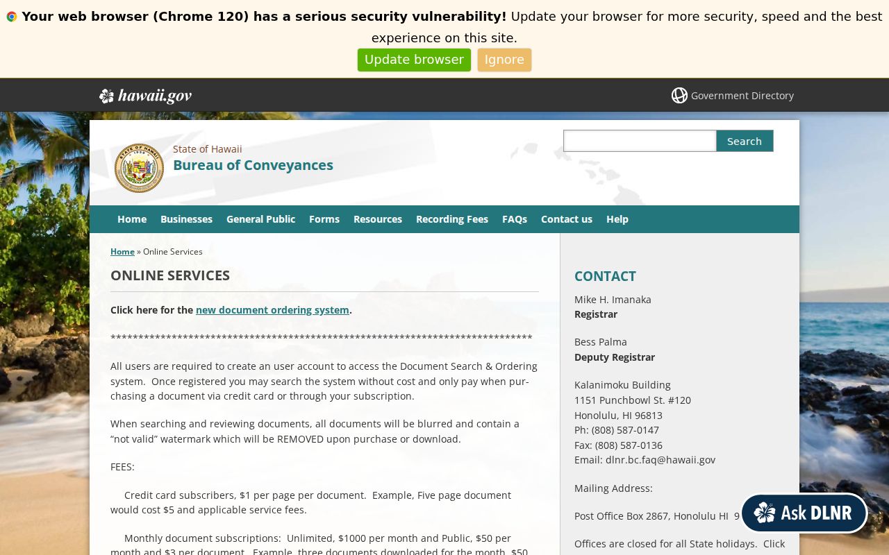
The official page points to the index and copy routes. A deed may identify a recorded owner and legal description, while easements, plats, mortgages, liens, releases, or Land Court certificates explain why a simple map outline can be misleading.
Online property records generally reach 1976. Older Regular System books and Land Court material go through BOC Room 123 or mail, with book, page, liber, or older document clues. DAGS Survey Map Search adds Land Court application and map numbers, file plans, registered maps, HTS/HSS plats, Hawaiian Home Lands plats, and CSF numbers. These channels help distinguish an actual neighboring lot from a road, common tract, or map artifact.
Honolulu Neighbor Voter Limits
HRS §11-97 makes a voter's full name, district or precinct, and status public, but other affidavit data is restricted except for election or government purposes. The Hawaiʻi OLVR screen is an ID-gated self-check. It is not a way to enter an address and list everyone registered on a block.
Requests for authorized public fields go to the Honolulu County Elections Division through its official email, mail, phone, or counter process. The requester should state the election or government purpose and confirm delivery, fees, and protected-voter exclusions. Address Confidentiality Program records may use protected or substitute information. Precinct maps can locate a civic district, but turning that geography into a household list would overstate what the record proves.
Honolulu Neighborhood Boards Add Context
The Neighborhood Commission Office maintains the countywide civic directory. Its map has 36 board areas, including Hawaiʻi Kai, Kaimukī, Mānoa, Waikīkī, Downtown-Chinatown, Kalihi-Pālama, Nuʻuanu/Punchbowl, Ala Moana/Kakaʻako, and many West Oʻahu and North Shore areas. Board boundaries differ from ZIPs, Census areas, postal cities, and parcel lines.
| Civic source | Useful public material | What it does not show |
|---|---|---|
| NCO board map | Current board name and area boundary | A resident list or legal parcel boundary |
| Board page | Members, meeting information, agendas, minutes, resolutions | Private membership data |
| Meeting record | Attendance, quorum, testimony and agency reports | Every view held on the block |
| Independent association | Only information the group posts voluntarily | A presumed public HOA roster |
Downtown-Chinatown records, for example, may include meeting video, written testimony, attendance, quorum, and agency reports. They show what the civic area discussed on a date. They do not establish that a board member or speaker lives beside the target address.
Historic Honolulu Neighbors Need Archives
Past blocks require a year-specific source. The Hawaiian Historical Society research page introduces an appointment reading room and collections of newspapers, Hawaiian-language imprints, clipping files, maps, photographs, books, journals, and manuscripts.

Those collections can add names and street context that a current parcel card cannot. HHS complements Hawaiʻi State Library microfilm and directories, UH Mānoa scans and manuscripts, and State Archives government indexes.
Search a directory street section for the exact year, compare a nearby census year, then test the address against a deed, plat, or historic map. Preserve original Hawaiian spelling before trying an anglicized form. Mark a gap when an old street number cannot be tied to the modern TMK. A past occupant, owner, newspaper subject, and present neighbor remain four different facts.
Official Honolulu Neighbor Records Win
Commercial neighbor tools may blend parcel data, marketing files, old directories, and address histories. Their category can be convenient, but identity matching and freshness vary. One mixed record can place the wrong household next door. Official sources are narrower yet reveal the custodian, field meaning, date, and correction route.
| Point | Official Honolulu record | Commercial compilation |
|---|---|---|
| Source | Named custodian and record purpose | Often blended from several feeds |
| Date | Filed, assessed, issued, or meeting date | Refresh date may be unclear |
| Meaning | Owner, party, licensee, or board role is labeled | Relationship may be inferred |
| Correction | Maintaining office has a defined process | Opt-out may not change the source record |
Use the official block chain for property and civic facts. If a profile from elsewhere conflicts, return to the parcel, deed, board record, or custodian rather than forcing the records to agree.
Respect Honolulu Neighbor Privacy
A block map is not a people census. Renters and household members may not appear in title. DMV addresses, utility customer lists, unredacted identifying data, protected voter details, sealed court files, and private HOA rosters are not public neighbor-search sources. The Address Confidentiality Program provides qualifying survivors with a substitute address and mail protections; never try to reverse it.
Map layers are also not legal surveys. Confirm a boundary through the recorded legal description and survey or plat. If a public record is wrong, save its TMK, document number, field, and date, then contact the custodian. A narrow UIPA request can seek a described public record when no ordinary index exists, but it cannot defeat an exemption.
Lawful use. Research Honolulu neighbors for a legitimate personal or civic reason, and never stalk, threaten, harass, or force unwanted contact.