
Honolulu County ZIP Coverage
Oʻahu's delivery geography has three broad groups: standard ZIPs tied to communities, Honolulu post-office-box assignments, and special codes for military bases or major institutions. A practical Honolulu County ZIP code directory must keep those types apart. The table groups the complete working inventory into readable area bands while retaining the codes needed for a live USPS check.
| ZIP or range | Oʻahu area | Postal identity | Record-search note |
|---|---|---|---|
| 96701, 96782 | Aiea and Pearl City | Standard community delivery | Use the exact site address or TMK for parcels |
| 96706, 96707, 96709, 96797 | ʻEwa Beach, Kapolei, Waipahu | Standard, with 96709 associated with PO boxes | Postal city is not a separate municipality |
| 96712, 96717, 96730, 96731, 96762, 96791 | North Shore and Koʻolauloa | Haleʻiwa, Hauʻula, Kaʻaʻawa, Kahuku, Lāʻie, Waialua | Retain diacritic and plain-spelling variants |
| 96734, 96744, 96795 | Windward Oʻahu | Kailua, Kaneohe, Waimānalo | Postal names and community labels can differ |
| 96759, 96786, 96789 | Central Oʻahu | Kunia, Wahiawā, Mililani | Includes military-adjacent geography |
| 96792 | Leeward Coast | Waiʻanae and Māʻili | Standard delivery area |
| 96813-96819, 96821-96822, 96825-96826 | Urban Honolulu | Downtown through Waikīkī, East Honolulu, Mānoa and Kalihi areas | Standard ZIPs in this range are not one neighborhood |
| 96801-96812, 96820, 96823-96824, 96827-96830, 96836-96839 | Honolulu | PO Box or special postal assignments | Verify the specific code live |
| 96840-96849 | Honolulu institutions | Utilities, banks, UH Mānoa, East-West Center | Many are unique, not resident pools |
| 96853-96863 | Military installations | Joint Base, Wheeler, Schofield, Fort Shafter, Tripler, Camp Smith, MCBH | Installation assignment, not a city boundary |
| 96898 | Wake Island metadata | Special Honolulu County USPS association | Not an Oʻahu residential ZIP |
The State Department of Health uses wider health-area groupings that combine several codes. Those groups help describe regions such as North Shore/Lāʻie, Kailua/Waimānalo, and Waipahu/Kapolei/ʻEwa, but they are not legal neighborhood lines. USPS remains the authority for deliverable postal form.
Honolulu ZIP Directory Types
The 968xx family is easy to misread. Standard delivery codes cover Downtown, Ala Moana, Waikīkī, Kaimukī, Kalihi, Salt Lake, East Honolulu, Mānoa, and nearby urban areas. Other 968xx codes are for PO boxes, a special government route, one institution, or a military installation. A mailing label may therefore point to an organization rather than a residential district.
Unique examples make the distinction concrete: 96840 is assigned to Hawaiian Electric, 96841 to Hawaiian Telcom, 96843 to the Board of Water Supply, 96844 to the University of Hawaiʻi at Mānoa, 96846 to Bank of Hawaiʻi, 96847 to First Hawaiian Bank, and 96848 to the East-West Center. They may occur in business or historical address sources. They should not be treated as a list of neighborhood residents.
Military assignments have the same caution. Codes tied to Joint Base Pearl Harbor-Hickam, Schofield Barracks, Fort Shafter, Tripler, Camp H.M. Smith, Wheeler Army Airfield, and Marine Corps Base Hawaiʻi describe mail delivery contexts, not independent legal cities.
Search Honolulu County by ZIP
No current Honolulu County property, permit, deed, court, or public voter screen in the research accepts ZIP as its main filter. A sound ZIP code directory workflow first validates the postal geography, then converts the result into the address or parcel key required by the official record system.
- Enter the known city and state or address in the USPS ZIP Code Lookup. Use “Cities by ZIP” to check the recommended postal-city name.
- Keep the standardized street, unit, city, state, and ZIP together. Do not assume the city label defines jurisdiction or confirms a person.
- Search RPAD or DPP with the physical site address. Save the eight-digit TMK if a parcel result appears.
- Use the TMK in city GIS, permits, survey maps, or the Bureau of Conveyances. These records do not use ZIP as their durable key.
- For a broader area, inspect a GIS ZIP or Census ZCTA layer only if the live layer is present. Click parcels rather than exporting a supposed resident list.
After the postal area narrows the search, the Honolulu County street directory explains the address-to-TMK and deed chain in full.
Verify Honolulu County Postal Names
USPS offers two useful directions. “By City and State” returns ZIPs associated with a postal city. “Cities by ZIP” returns recognized or recommended city names for a code. USPS warns that a result does not confirm the actual location of a person or business, and its lines need not match municipal boundaries.
| USPS route | Starting fact | What it checks |
|---|---|---|
| By Address | Street, city, state | Standardized delivery ZIP and form |
| By City and State | Postal city plus Hawaiʻi | Codes associated with that city label |
| Cities by ZIP | Five-digit code | Recognized and recommended city names |
The USPS city-and-state lookup shows the controls used to confirm a Honolulu County postal assignment.
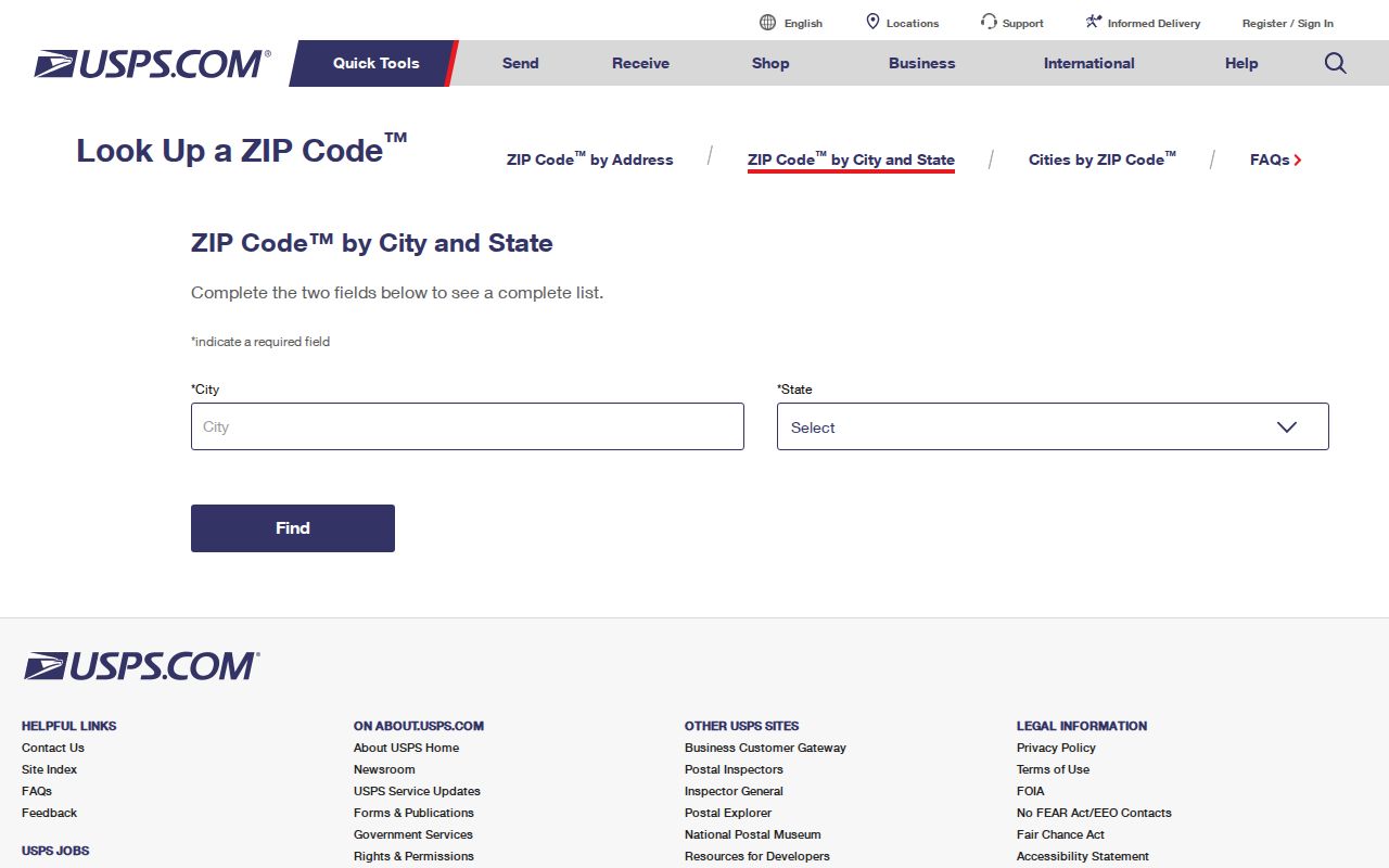
The captured page is the right starting point for current delivery form, before a search moves into city parcel or archive systems.
Honolulu Records Skip ZIP Filters
RPAD's basic search accepts site street number, street name, optional unit, or parcel/TMK. It has no basic ZIP control and no public owner-name tab. DPP permit records also use address, TMK, application, and permit identifiers. BOC searches grantor, grantee, document number, or identified TMK routes. eCourt uses party, case, date, court, and related case fields. The individual voter portal requires identity facts for one's own record.
The RPAD/QPublic property-search handoff documents the address and TMK approach that follows a postal lookup.
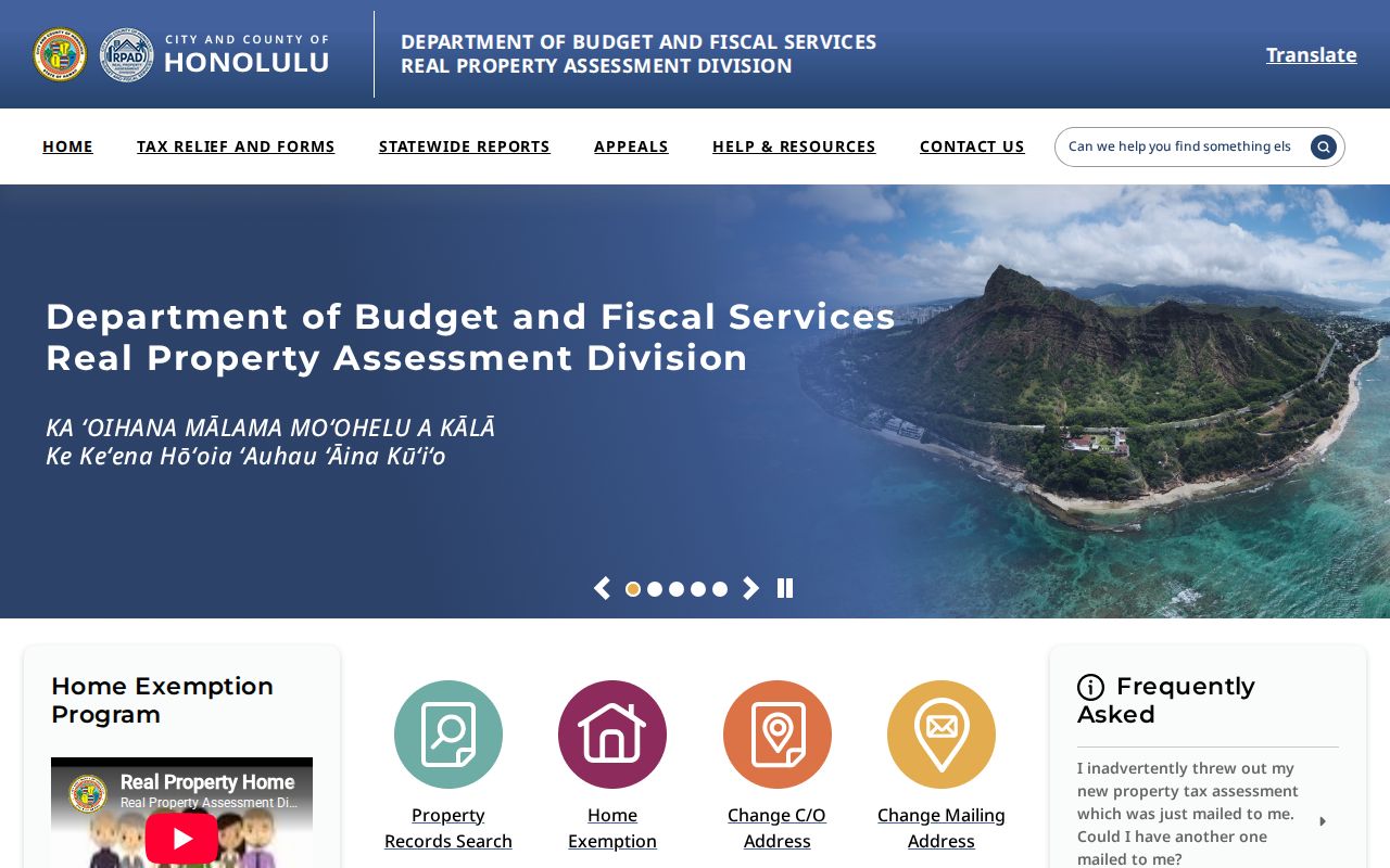
The screen makes the limitation visible: ZIP can narrow geography in a human sense, but the parcel system still needs the site or TMK.
For election data, a third-party public-file request must go to Honolulu County Elections for an authorized election or government purpose. It is not an open ZIP browser. Confirm approved fields, protected-voter exclusions, cost, format, and certification with the office.
Honolulu County ZIP Terms
Postal and statistical terms often appear together, yet they serve different functions in an Oʻahu postal search.
- ZIP code
- A USPS mail-routing code. It is not a legal city, district, or parcel boundary.
- ZIP+4
- A five-digit ZIP plus four digits that refine a delivery segment, organization, building, or box group.
- PO-box ZIP
- A code used mainly or wholly for post-office boxes rather than ordinary street delivery.
- Unique ZIP
- A code assigned to one large institution or organization with enough mail to justify it.
- Carrier route
- A USPS delivery path within a ZIP, not a public list of the people receiving mail.
- ZCTA
- A Census statistical area approximating ZIP geography. It does not reproduce live USPS delivery lines.
USPS AIS products add address quality, city/state, delivery type, county name, route, and ZIP+4 data for authorized users. AIS updates monthly, but it is not a free resident export. Most people need only the public lookup and an official local record keyed by address.
Honolulu ZIPs Versus County Lines
Honolulu County is the consolidated City and County on Oʻahu. The Census Bureau does not treat its consolidated city exactly like a stand-alone statistical city. County subdivisions, census-designated places, neighborhoods, postal-city names, ZIPs, and Neighborhood Commission board areas are separate geographic layers.
That mismatch is normal. An address can use Kailua, Kaneohe, Kapolei, Waipahu, Waialua, or a military installation as its postal identity while remaining within Honolulu County. There are no independent incorporated municipalities on Oʻahu to treat as a second legal city layer. Use the USPS label for mail, the situs address and TMK for property, and the legal description for land records.
Do not infer residence. A Honolulu ZIP or RPAD owner result does not prove that a named person occupies the site.
Older Honolulu Address Geography
Historical directories and maps may predate ZIP codes or use older street, district, island, and political labels. Search a known name or street in the volume's own index, then bridge the result through a lot description, map, permit, or present TMK. Preserve Hawaiian diacritics and also try ASCII spellings, since older scans may omit the ʻokina or kahakō.
The State Historic Preservation Division points researchers to Dakin Fire Insurance Maps of Honolulu, Sanborn material, aerial photographs, DAGS survey maps, old maps, and Realty Atlas Hawaii tax maps or data books. These sources can tie a pre-ZIP address to a block or parcel, but a fire-insurance map is not a title survey.
SHPD's research library page identifies the map sets that help bridge old Honolulu addresses.
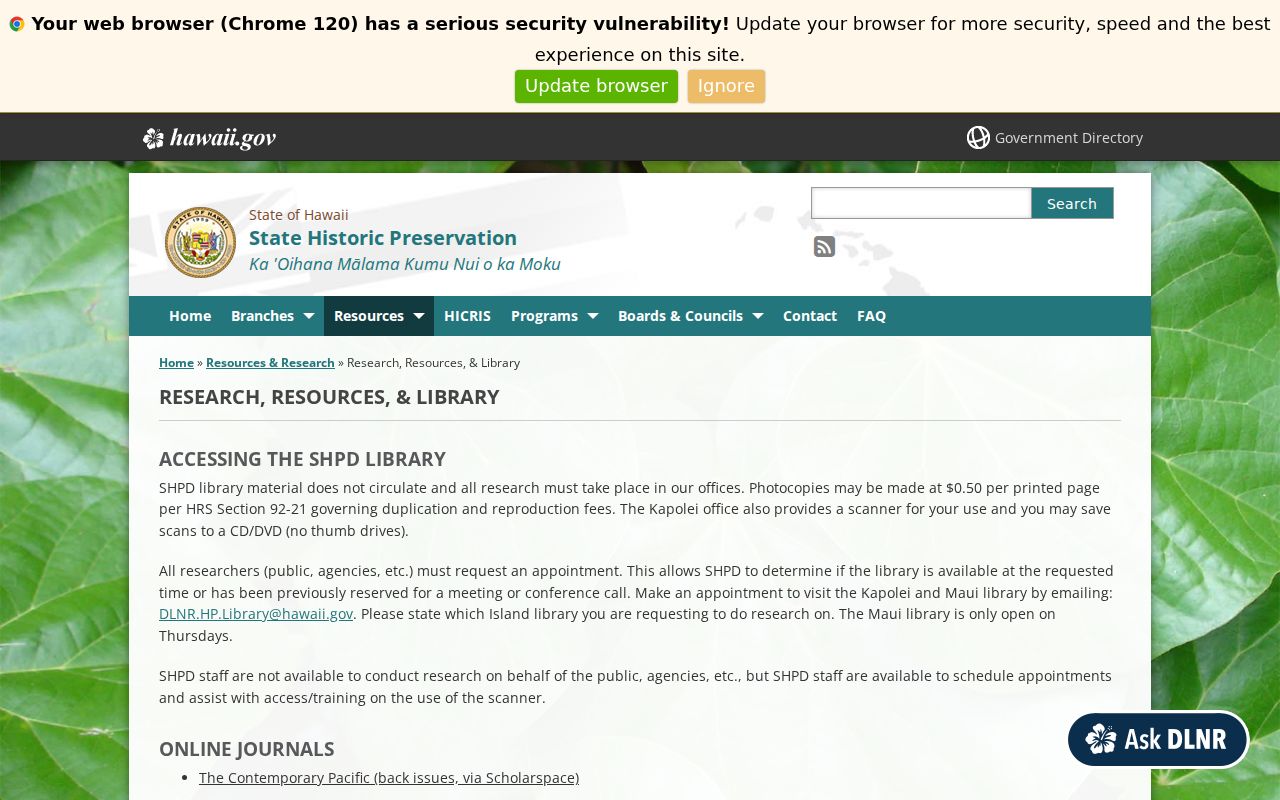
The resource list shows how historical geography can lead from an obsolete address form to a modern parcel key.
Check a Honolulu County Borderline ZIP
When a postal city or code looks wrong, do not force it into a neighborhood label. Run the full address through USPS. Compare the site in RPAD and city GIS, save the TMK, and note the district or board layer only as context. For mail uncertainty that the web tool cannot resolve, ask the serving post office. For a public city record, contact its custodian or make a focused UIPA request.
The research found no dated countywide ZIP realignment notice or street-renumbering chronology. That is a real limit. Current USPS data should decide delivery form, while maps, legal descriptions, directories, and permits bridge older forms. The postal inventory can organize the search, but it cannot replace those source-specific checks.
Note: Recheck a live USPS result before mailing because delivery assignments can change after a directory inventory is published.